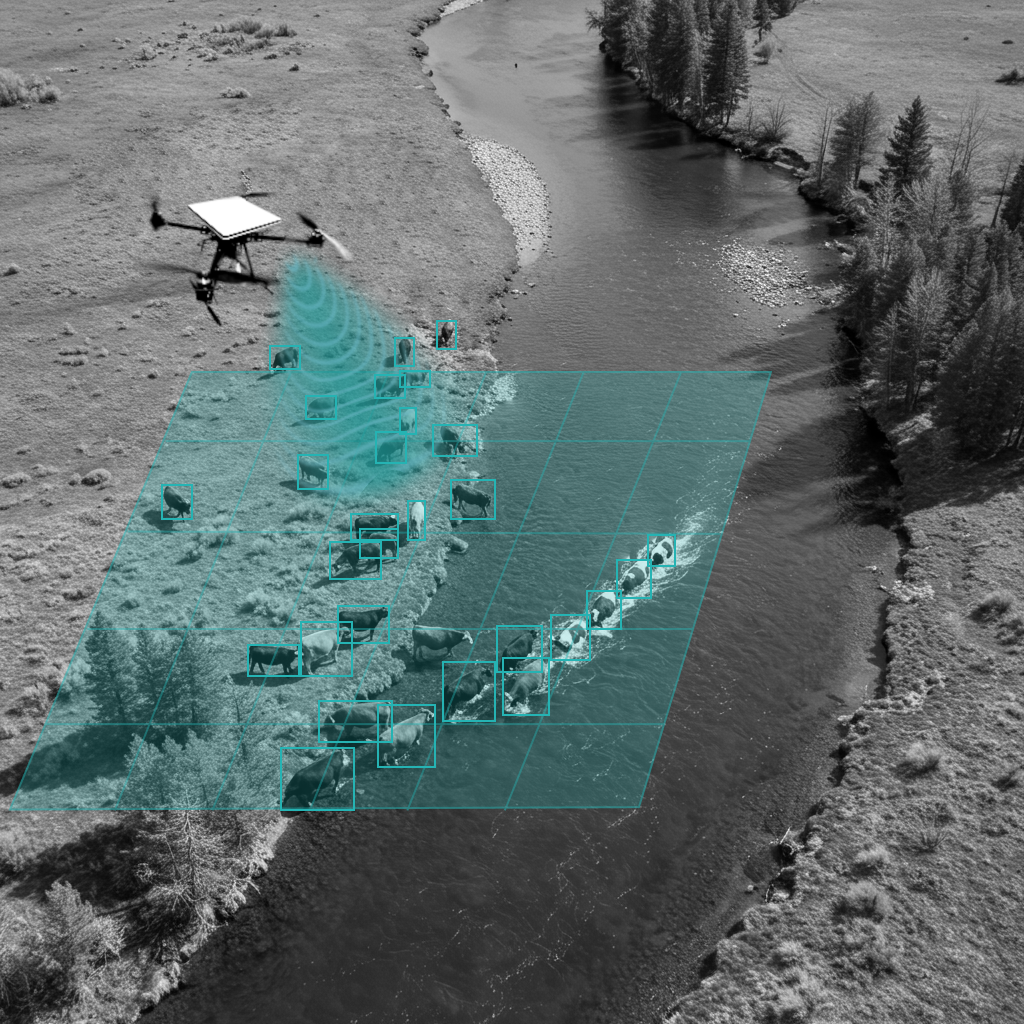

Manual Labor & Time
Eliminate the costly and time-consuming process of manual headcounts. Our AI provides instant, accurate numbers.
Lost/Injured Animal
Drastically reduce herd loss with autonomous missions that detect and locate individual animals in vast terrain.
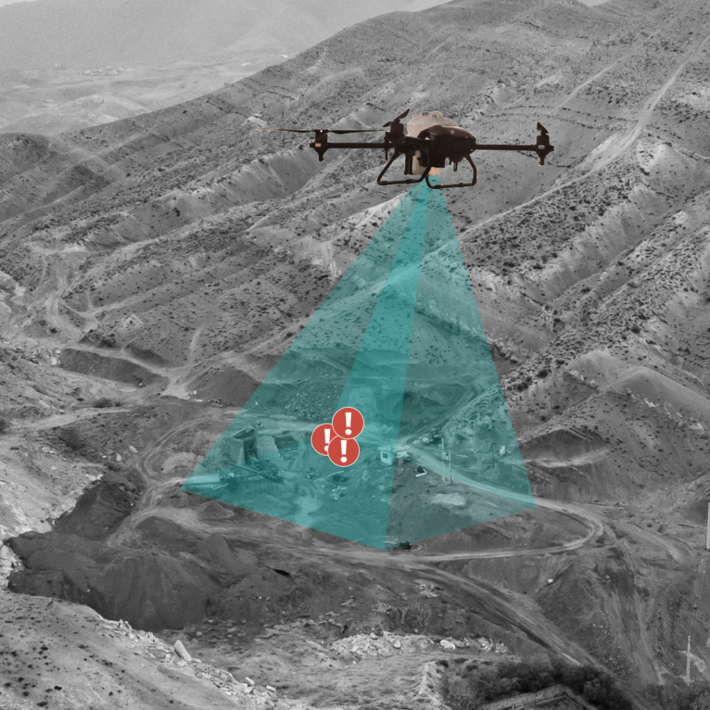
Ranch Security & Unauthorized Activity
Proactively deter livestock theft and monitor for unauthorized activity. Our drone missions provide automated surveillance, giving you real-time security alerts.
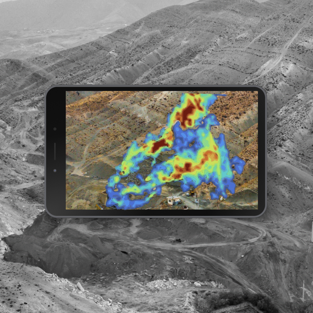
Health Monitoring
Proactively identify sick or distressed animals by integrating thermal sensors to spot subtle temperature anomalies.