


Reduced R&D Costs
Avoid expensive and time-consuming in-house AI research. We provide the software for autonomy, allowing you to focus on building the best possible drone hardware
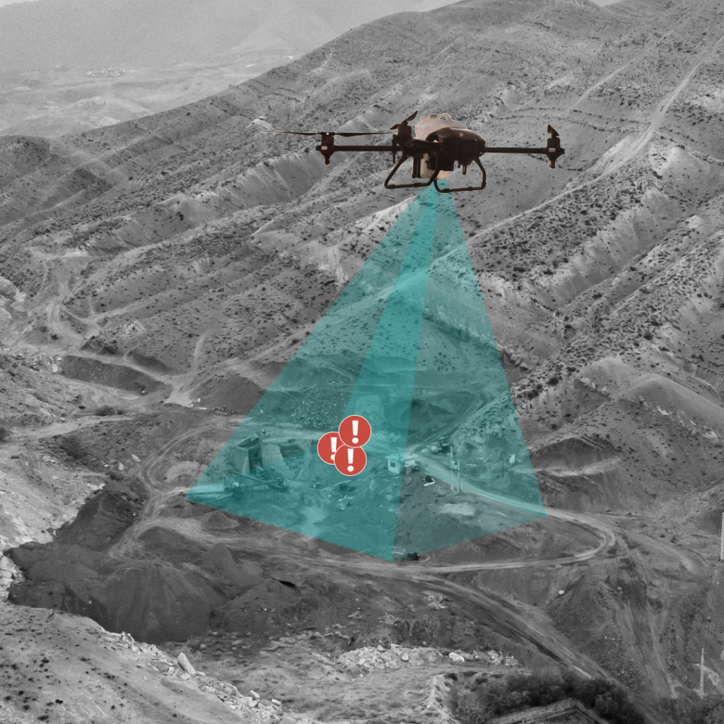
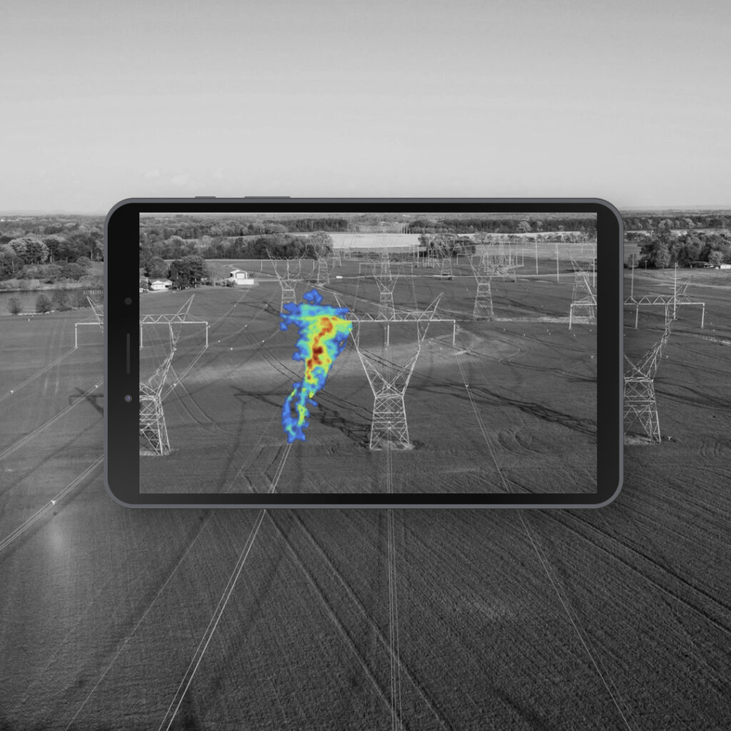
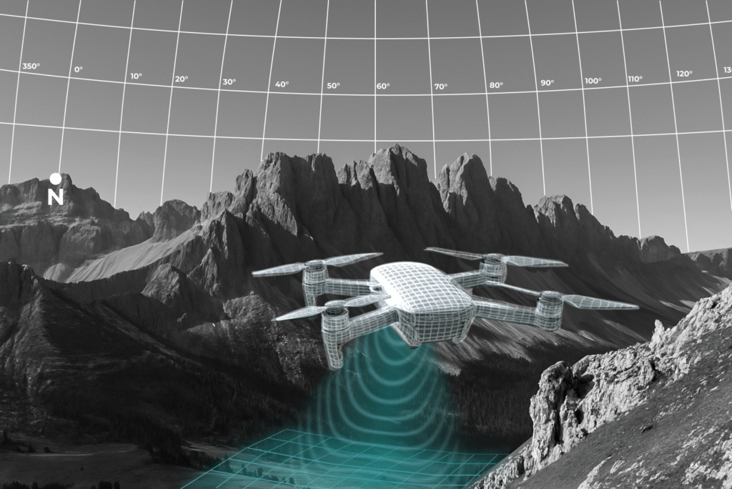
Advanced Autonomy
Elevate your drone's capabilities beyond standard flight. Our stack enables advanced features like autonomous mission execution and real-time object recognition.
Scale Rapidly
Deliver fleets at scale without being constrained by complex and costly hardware.
Open Ecosystem
Seamlessly integrate our AI companion compute with your existing drone fleet. Add sensors and peripheral devices friction free.
Get Started