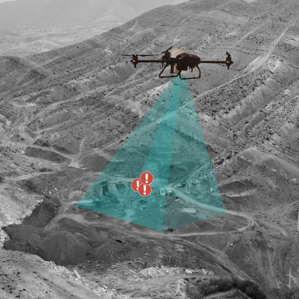
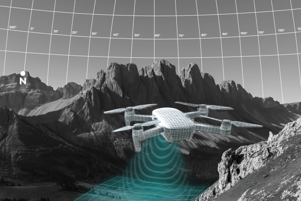

Manual & Dangerous Inspections
Replace risky, time-intensive manual inspections with safer, faster autonomous drone missions.
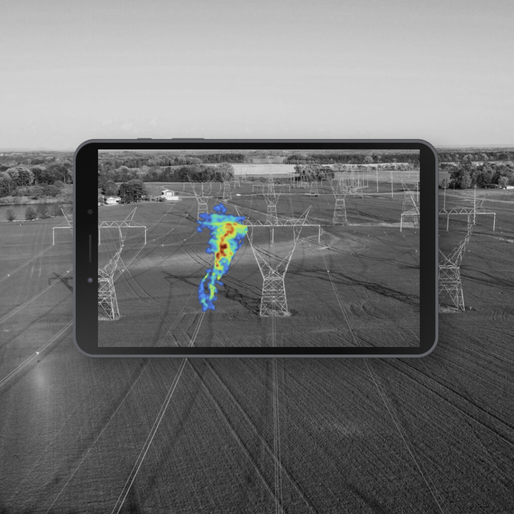
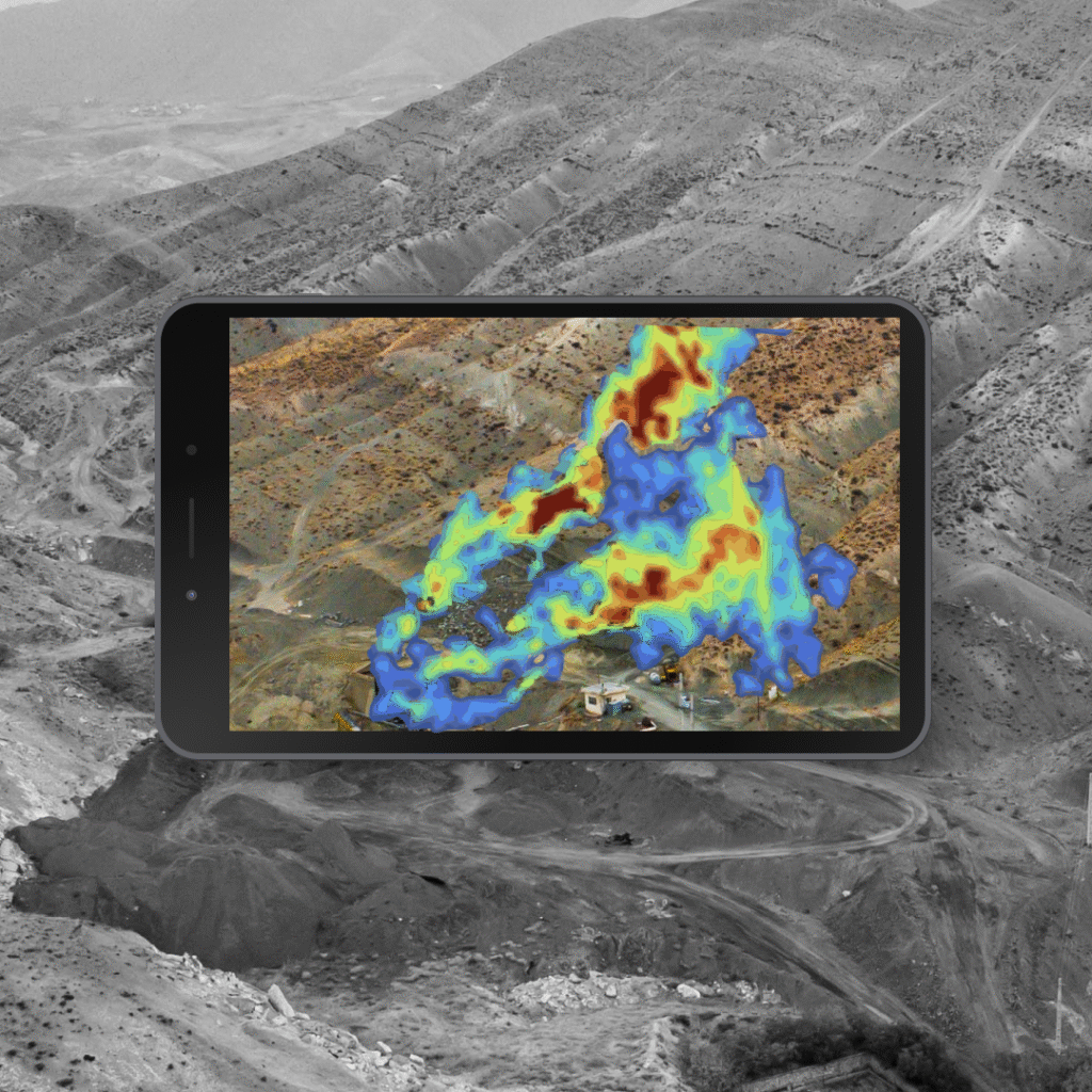
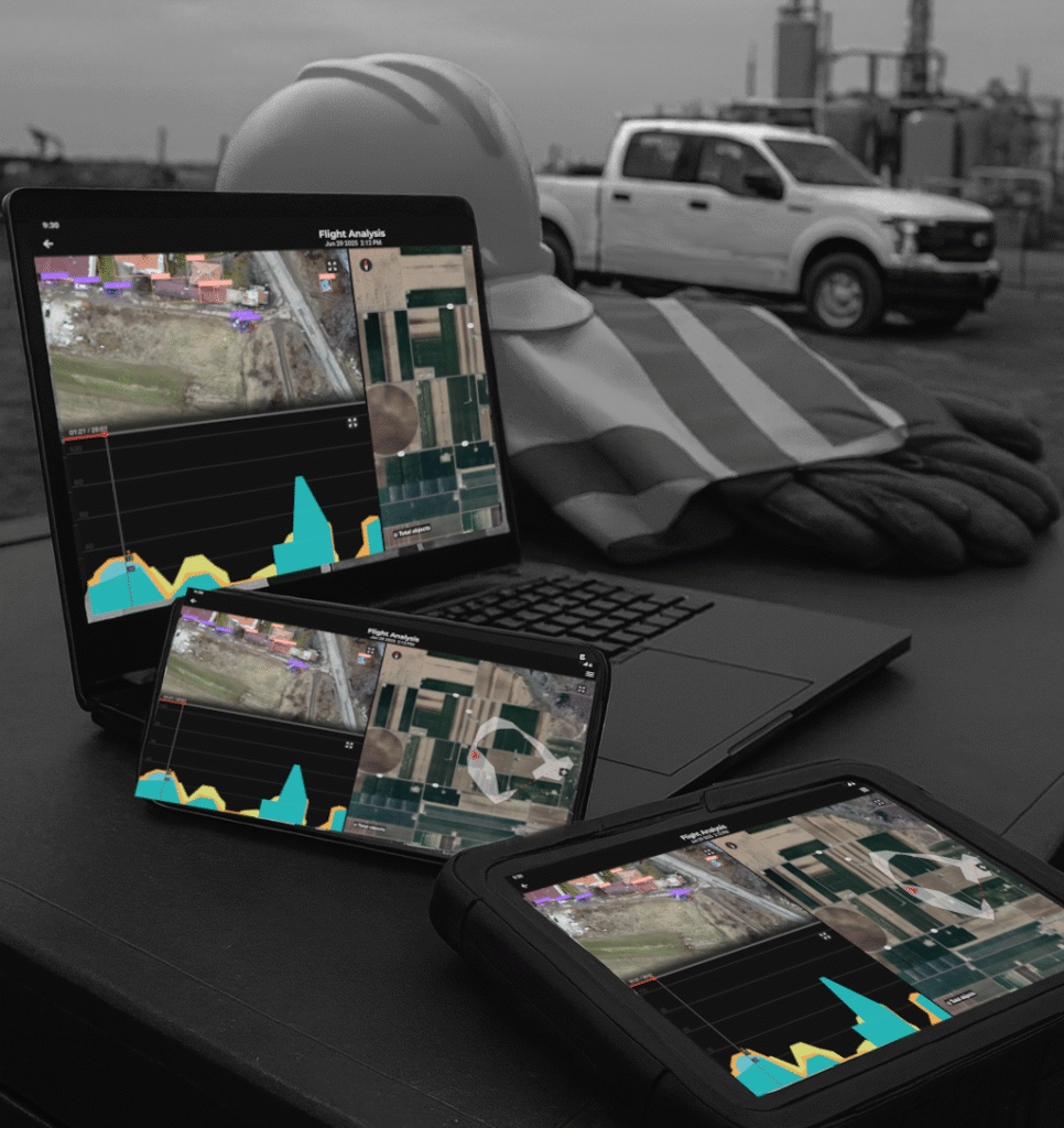
Inefficient Data Processing
Stop sifting through hours of footage. Our AI flags anomalies and damage instantly, delivering immediately actionable insights
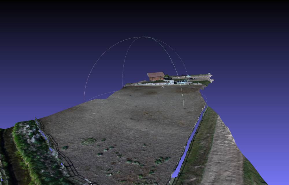
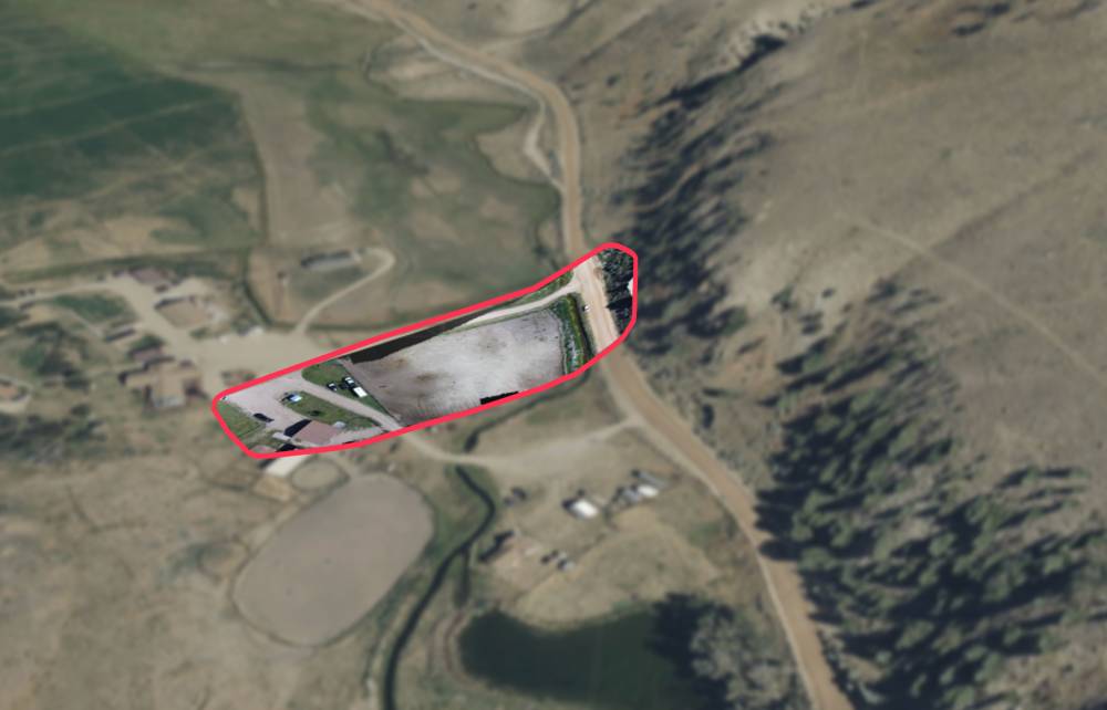
GPS/GNSS Resilience
When a GPS signal is lost or unreliable, our system safely switches to a visual navigation backup. This ensures the drone's mission is never compromised.
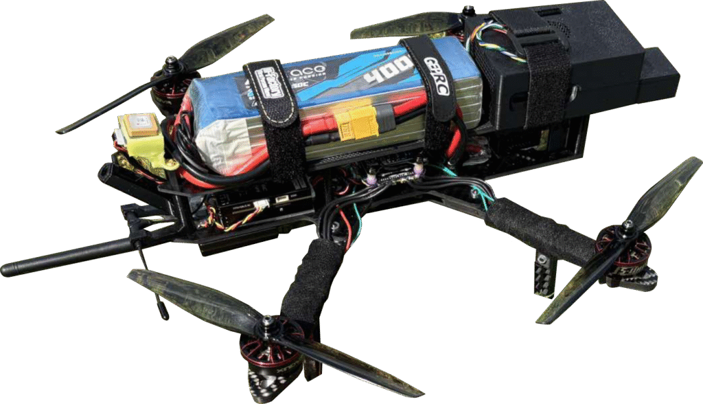
Complex AI Integration
Easily upgrade your existing drone fleet with our plug-and-play AI companion compute, avoiding the cost and complexity of building a custom solution from scratch.
Get Started